
Maymay Weakens Into Low Pressure Area Over Philippine Sea
La Union and neighboring provinces face occasional rains and flood risks from habagat.
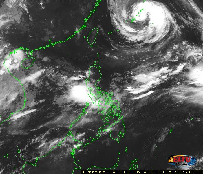
Screenshot courtesy of JMA
Former Tropical Cyclone Maymay weakened into a low pressure area over the Philippine Sea at 2:00 AM on Friday, August 7, 2026, PAGASA said. In its final bulletin at 5:00 AM, the center of the system was last located 620 kilometers east of Echague, Isabela. PAGASA confirmed that all Tropical Cyclone Wind Signals have been lifted as the remnant system is absorbed into the circulation of Tropical Cyclone Dolphin.
Although Maymay has degraded, the Southwest Monsoon will continue to bring strong to gale-force gusts across coastal and upland areas of the country, La Union included, through Monday, August 9. No heavy rainfall warnings, thunderstorm advisories, or special weather updates are currently active for Region 1.
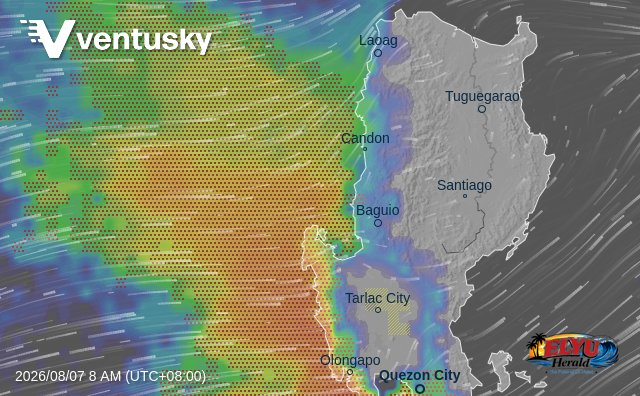
The weather bureau highlighted several sea condition risks affecting coastal waters:
- Very rough seas up to 4.5 meters along the seaboard of Batanes, where sea travel is risky for all types of vessels.
- Rough seas reaching up to 4.0 meters along the Babuyan Islands, mainland Cagayan, Isabela, and the northern seaboard of Ilocos Norte.
- Moderate seas up to 2.0 meters along the seaboards of La Union, Ilocos Sur, Pangasinan, and multiple other coastal provinces.
Fishermen operating motorbancas and small seacrafts in La Union and surrounding areas are advised to take precautionary measures while navigating at sea. PAGASA maintained a Gale Warning over the seaboard of Extreme Northern Luzon as local disaster offices continue monitoring weather conditions.
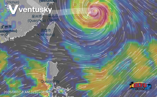
Typhoon Dolphin maintains maximum sustained winds of 140 kilometers per hour and gusts reaching up to 170 kilometers per hour, positioned 1,095 kilometers northeast of extreme Northern Luzon. Ocean mariners and coastal residents are advised to exercise caution as wave conditions remain rough along the northern and western seaboards.
SOURCE: PAGASA