
Tropical Storm Maymay Brings Rains Across Luzon
La Union and Northern Luzon face heavy rains and gusty winds as storm hits Ilocos Sur.
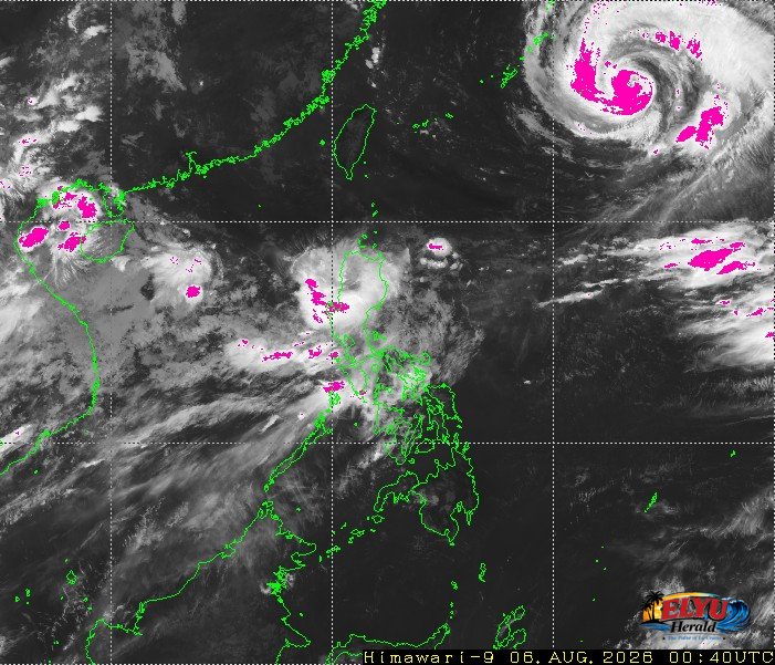
Screenshot courtesy of Japan Meteorological Agency
According to PAGASA, Tropical Storm Maymay moved across Northern Luzon on Thursday morning, August 6, 2026, with its center positioned in the vicinity of Bantay, Ilocos Sur at 3:00 AM. It has moved north from yesterday’s position close to Sinait, Ilocos Sur. The storm carries maximum sustained winds of 65 kilometers per hour near the center and gusts up to 110 kilometers per hour, moving eastward at 10 kilometers per hour.
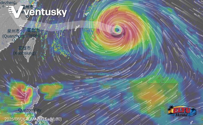
In La Union, local authorities and residents face continuous rains accompanied by gusty winds as the weather system tracks nearby. Officials warned that moderate to heavy rainfall poses significant risks of flash floods and landslides throughout coastal and inland towns, along with minimal to minor threats to life and property from strong wind gusts.
PAGASA highlighted varying weather conditions across affected regions:
- Stormy Weather: Ilocos Norte, Ilocos Sur, Mountain Province, Abra, Kalinga, and Apayao.
- Rains with Gusty Winds: La Union, Benguet, Ifugao, Cagayan, Isabela, Nueva Vizcaya, Quirino, and Aurora.
- Occasional Rains: Metro Manila, Rizal, Cavite, Batangas, Laguna, and Occidental Mindoro due to the southwest monsoon.
- Scattered Rains and Thunderstorms: Pangasinan, the rest of Central Luzon, MIMAROPA, Quezon, and Antique.
Beyond the main storm track, the enhanced southwest monsoon continues to draw moisture over Southern Luzon and the western section of Visayas. Weather forecasters are also monitoring Typhoon Dolphin, located outside the Philippine Area of Responsibility at 1,450 kilometers east-northwest of Extreme Northern Luzon, with maximum sustained winds of 150 kilometers per hour.
Sea conditions across Extreme Northern Luzon and Central Luzon remain moderate to rough, with coastal wave heights predicted between 1.2 and 3.7 meters.
SOURCE: PAGASA