
Rains from Habagat continue Across Luzon as Tropical Storms Loom
La Union and the Ilocos Region still at risk of potential flash floods.
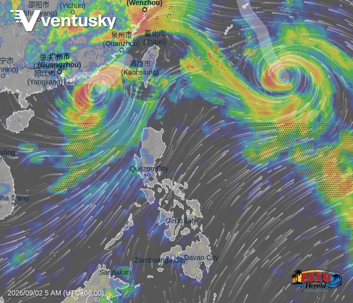
PAGASA reports on September 2, 2026, that the HABAGAT is bringing scattered rains and thunderstorms across Luzon, while two tropical storms remain active outside the Philippine Area of Responsibility. Tropical Storm Pilandok was located 1,200 kilometers east of extreme Northern Luzon with maximum winds of 65 km/h, while Tropical Storm Saudel was spotted 560 kilometers west of Batanes. These weather systems are driving moist winds that threaten several regions with potential flash floods and landslides.
In La Union, several municipalities are already experiencing these monsoon rains. Active rainfall is currently affecting the City of San Fernando, San Juan, Aringay, Bangar, Burgos, Naguilian, and Sudipen.
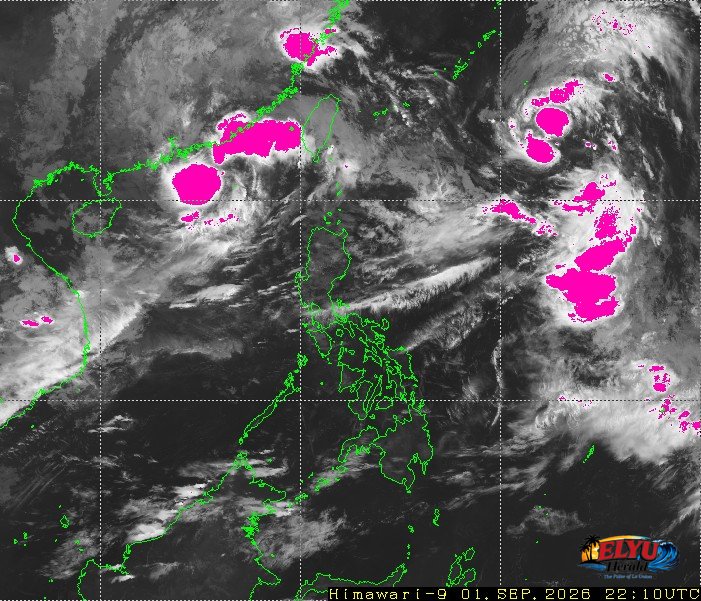
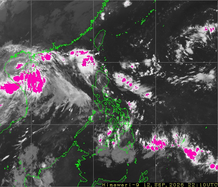
PAGASA projects that the rainfall will spread to other parts of the province. Residents in the following La Union towns should expect light to moderate, and at times heavy, rains within the next two to three hours:
- Agoo, Bacnotan, and Balaoan
- Bagulin, Bauang, and Caba
- Luna, Pugo, and Rosario
- San Gabriel, Santol, Santo Tomas, and Tubao
Strong southwest winds are also affecting the region, creating rough to very rough coastal conditions along the seaboards of the Ilocos Region. Temperatures in the area are expected to hover between 25°C and 31°C.
Marine conditions remain hazardous, with moderate to strong southwest winds generating waves up to 4.0 meters high along the western seaboard of Luzon. Small seacraft and local fishermen in La Union are advised to exercise caution when venturing out to sea.
SOURCE: PAGASA