
PAGASA Issues Red Heavy Rainfall Warning Across Northern Luzon
PAGASA warns residents in La Union and nearby provinces of potential landslides and flooding from southwest monsoon.
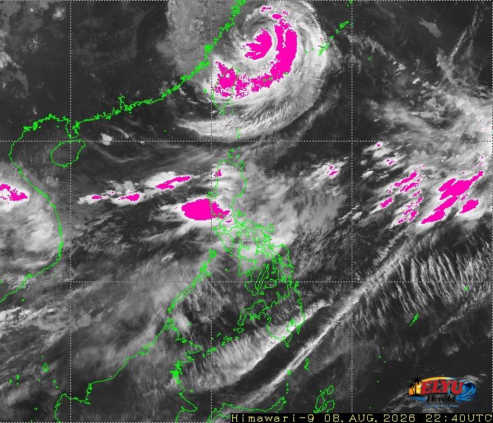
Screenshot courtesy of JMA
The Southwest Monsoon (HABAGAT) continues to bring intense rainfall across Northern Luzon, prompting PAGASA to issue high-level weather alerts on Sunday morning, August 9, 2026. A Red Warning (Serious Flooding and Landslides): has been issued for La Union and Benguet.
Heavy Rainfall Warning No. 14 issued at 5:00 AM, warns that persistent heavy downpours pose immediate hazards across multiple provinces.
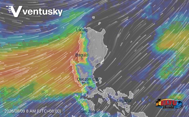
Under the latest advisory, the Red Warning issued means that serious flooding and landslides are expected in flood-prone and hillside communities. Coastal waters off the western seaboard are also experiencing rough conditions driven by strong southwest winds.
PAGASA also issued regional rainfall warnings as follows:
- Orange Warning (Threatening Flooding and Landslides): Ilocos Sur and Pangasinan.
- Yellow Warning (Flooding and Landslides Possible): Abra, as well as high-risk municipalities in Nueva Vizcaya (Santa Fe, Aritao, Kayapa), Ifugao (Hungduan, Tinoc), and Mountain Province (Bauko, Besao, Sabangan, Sagada, Tadian).

PAGASA is tracking three tropical cyclones currently outside the Philippine Area of Responsibility (PAR):
- Typhoon Dolphin, located 755 kilometers north-northeast of Itbayat, Batanes, with maximum sustained winds of 130 km/h near the center and gustiness up to 160 km/h.
- A tropical depression located 1,980 kilometers east of Extreme Northern Luzon, moving east-southeast at 20 km/h.
- A second tropical depression located 3,435 kilometers east of Extreme Northern Luzon, moving east-northeast at 40 km/h.
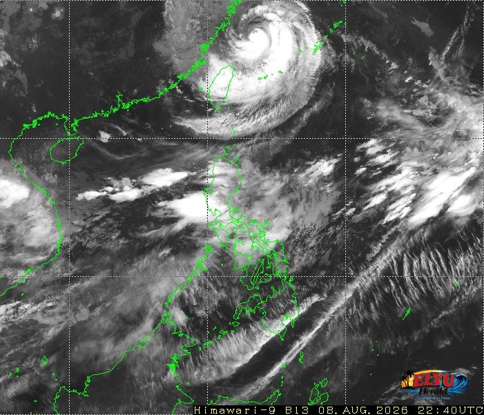 Source: Japan Meteorological Agency

Although these tropical systems remain outside PAR, PAGASA says the trough of Typhoon Dolphin is generating scattered rainshowers over Batanes. Coastal waters along the rest of Luzon remain moderate to rough, with wave heights reaching between 1.5 and 3.5 meters.
Disaster Risk Reduction and Management Offices and local residents, especially those living near mountain slopes and river channels, are advised to take necessary precautions against rockslides, mudslides, and flash floods.
SOURCE: PAGASA