
Tropical Storm Kiyapo Intensifies as It Approaches Northern Luzon
PAGASA warns La Union and nearby northern provinces of heavy rains and gusty winds.
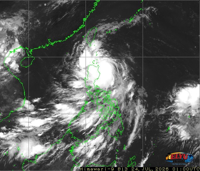
Satellite Screenshot Source: Meteorological Satellite Center of JMA website
According to PAGASA, Tropical Storm “KIYAPO” (international name NOUL) was tracked 355 kilometers east of Aparri, Cagayan as of 3:00 AM on July 24, 2026, bringing heavy rains and strong winds across Northern Luzon. The storm is moving west-northwest at 30 km/h with maximum sustained winds of 65 km/h near the center and gusts reaching up to 80 km/h.
In La Union, residents can expect rains accompanied by gusty winds as the storm moves closer. Weather observers warn that moderate to heavy rains, which may become intense at times, could trigger flash floods or landslides in susceptible areas across the province.
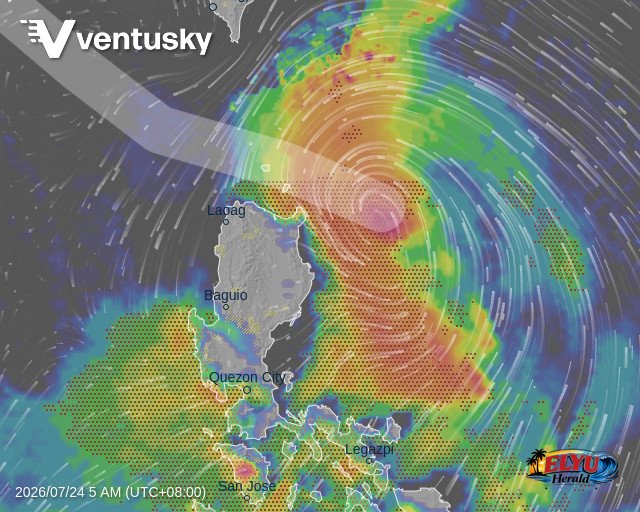
The severe weather system affects several parts of Luzon, while the Southwest Monsoon influences southern regions:
- Ilocos Norte, Batanes, and Babuyan Islands: Facing stormy weather with heavy to torrential rains and strong winds that pose a minor to moderate risk to life and property.
- La Union, Ilocos Sur, Cordillera Administrative Region, Aurora, and the rest of Cagayan Valley: Experiencing rains with gusty winds and potential flooding in low-lying areas.
- Metro Manila, Pangasinan, CALABARZON, and Central Luzon: Seeing cloudy skies with scattered rains and thunderstorms.
- Western Visayas, Palawan, and Occidental Mindoro: Subject to occasional rains driven by the ongoing Southwest Monsoon.
Coastal waters around Mindanao will see moderate to rough sea conditions with waves reaching up to 2.8 meters. Slight to moderate seas with waves up to 2.1 meters are forecasted for coastal areas around the rest of Luzon and Visayas.
SOURCE: PAGASA