
Tropical Storm Josie Moves Northwest as Monsoon Affects Luzon
La Union and Ilocos provinces will experience scattered rains and potential flash floods
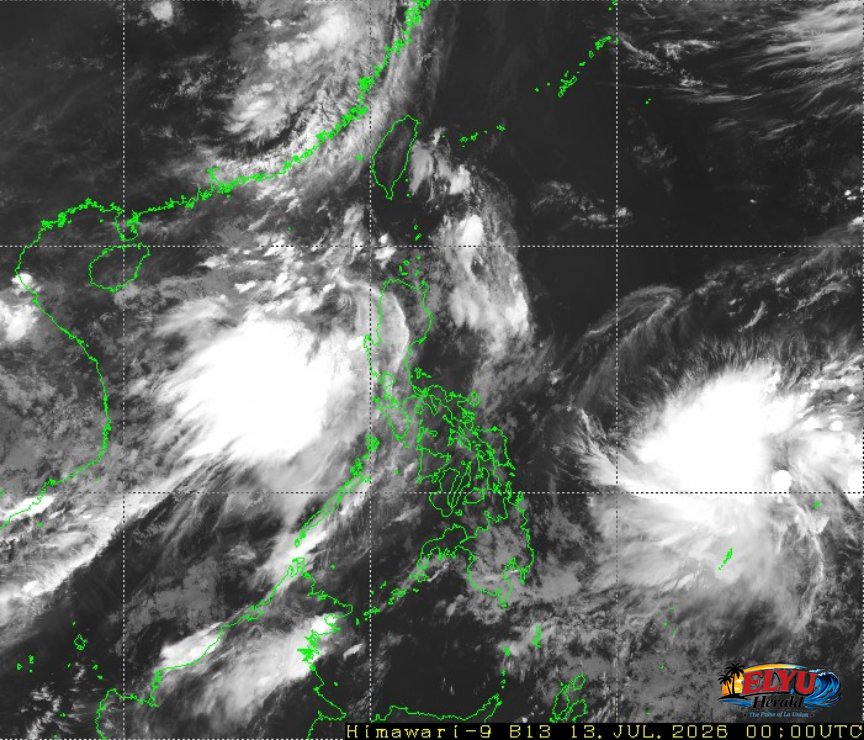
Screenshot of Himawari-9 viewer, credit Meteorological Satellite Center / Japan Meteorological Agency (JMA)
According to PAGASA in its 4:00 AM bulletin on July 14, 2026, Tropical Storm Josie (international name Haishen) was located 1,095 kilometers east of Eastern Visayas, moving northwestward at 25 kilometers per hour. The storm carries maximum sustained winds of 65 kilometers per hour near the center and gusts of up to 80 kilometers per hour, while the Southwest Monsoon simultaneously affects the western section of Northern Luzon.
PAGASA says the monsoon will bring cloudy skies with scattered rains and thunderstorms to La Union, Ilocos Norte, and Ilocos Sur. Localized moderate to heavy rainfall raises the risk of environmental hazards in these areas.
Key details from the official forecast include:
- Storm Location: 1,095 km East of Eastern Visayas, moving northwest at 25 km/h.
- Wind Strength: Maximum sustained winds of 65 km/h with gusts up to 80 km/h.
- La Union Impact: Cloudy skies, scattered rains, and thunderstorms with risks of flash floods or landslides.
- Sea Conditions: Moderate to rough coastal waters with wave heights between 1.2 and 3.1 meters.
Coastal conditions in the northern and western sections of Luzon, including the maritime borders of La Union, are expected to experience moderate to rough seas. PAGASA reported that south to southwest winds will blow at moderate to strong speeds, generating waves that could disrupt small seacraft.
Residents in low-lying and mountainous areas are advised to monitor local weather updates and coordinate with disaster risk reduction offices. The rest of the country, including Metro Manila, will experience partly cloudy to cloudy skies with isolated rainshowers due to localized thunderstorms.
SOURCE: PAGASA