
Fair Weather Across the Archipelago as Easterlies Affect Luzon
La Union faces localized thunderstorms while Super Typhoon Bavi stays far off
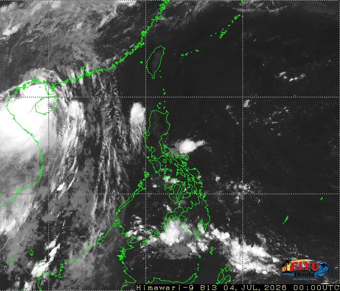
Screenshot of Himawari-9 viewer, credit Meteorological Satellite Center / Japan Meteorological Agency (JMA)
PAGASA says in its weather forecast issued at 4:00 AM on July 4, 2026, there is a newly spotted weather disturbance in the Pacific Ocean. Super Typhoon Bavi (2609) remains far outside the Philippine Area of Responsibility (PAR) while localized thunderstorms and easterlies bring isolated rains across the archipelago. The weather bureau tracked the super typhoon at 2,985 kilometers east of Eastern Visayas, carrying maximum sustained winds of 195 kilometers per hour and gusts of up to 240 kilometers per hour.
Just when Typhoon Henry barely spared the Philippines and moved on, another one has appeared, and this is a big one. Although this super typhoon is still too far to directly impact the country, La Union will experience partly cloudy to cloudy skies with isolated rainshowers. Localized thunderstorms are expected to bring sudden afternoon or evening rains to towns like San Fernando City, San Juan, and Bauang.
PAGASA warned that these severe thunderstorms could trigger sudden flash floods or landslides in vulnerable areas.
Coastal and wind conditions across the country are forecast as follows:
- La Union and the rest of Luzon: Light to moderate winds from the northeast to east, with slight to moderate coastal waters ranging from 0.6 to 1.5 meters.
- Eastern section of Luzon: Light to moderate winds from the east to northeast, with waves reaching up to 1.8 meters.
- Visayas and Mindanao: Light to moderate winds with slight to moderate seas up to 1.2 meters.
The easterlies, which are warm winds blowing from the Pacific Ocean, currently affect the eastern sections of Luzon and Visayas. PAGASA continues to monitor the westward movement of the super typhoon at 15 kilometers per hour.
SOURCE: PAGASA