
TD Kiyapo forms in East Luzon
La Union residents are advised to stay alert as early thunderstorm warnings clear
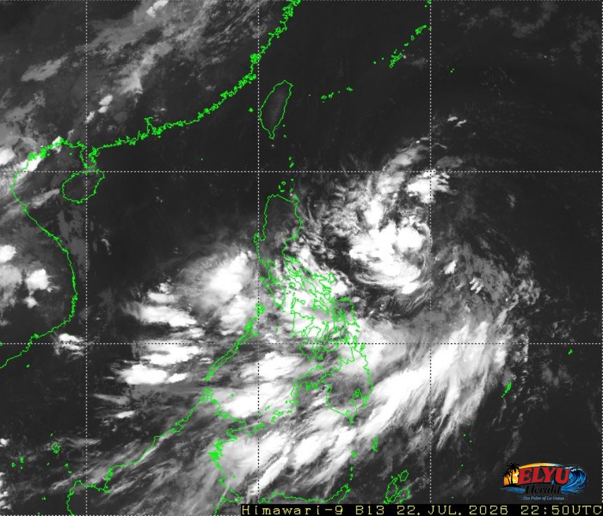
Screenshot of Himawari-9 viewer, credit Meteorological Satellite Center / Japan Meteorological Agency (JMA)
According to PAGASA, Northern Luzon will experience partly cloudy to cloudy skies with isolated rainshowers or thunderstorms today, July 23, 2026. State weather forecasters officially terminated all active regional thunderstorm advisories as of 4:57 AM, though localized weather shifts remain possible throughout the day.
In La Union and neighboring coastal provinces in the Ilocos Region, temperatures are expected to range between 25°C and 33°C. Light to moderate winds coming from the northwest to northeast will prevail, bringing slight to moderate sea conditions along coastal communities, including San Fernando City, San Juan, and Bauang.
Key details from the latest weather update include:
- Termination of Warnings: All early morning thunderstorm advisories across the region have been cleared by weather authorities.
- Wind and Sea Conditions: Coastal waters will remain mostly calm to moderately rough, driven by light to moderate northwest to northeast winds.
- Hazard Risks: Residents near mountain slopes and low-lying areas are advised to prepare for potential landslides, rockslides, flash floods, or mudslides during sudden localized downpours.
- Extended Outlook: Regional forecasts indicate potential increases in wind speeds and rougher sea conditions heading into the weekend.
Local disaster management authorities advise residents to remain cautious and continue monitoring official weather updates for sudden environmental changes.
SOURCE: PAGASA