
Severe Tropical Storm Francisco Enters Philippine Area of Responsibility
PAGASA monitors the storm tracking 1,295 kilometers east of Southeastern Luzon.
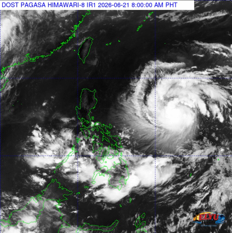
Screenshot from PAGASA's Himawari-8 viewer, credit DOST-PAGASA
According to PAGASA, Severe Tropical Storm Francisco entered the Philippine Area of Responsibility at 10:00 PM on June 20, 2026, positioning itself 1,295 kilometers east of Southeastern Luzon as it moves westward at 25 kilometers per hour.
The weather bureau reported that the storm has maximum sustained winds of 95 kilometers per hour near the center and gustiness of up to 115 kilometers per hour. Strong to storm-force winds currently extend outward up to 420 kilometers from the center of the storm.
With the storm now inside the country’s boundary, PAGASA has concluded its advisory series and will transition to issuing regular tropical cyclone bulletins. Disaster risk reduction and management offices, along with the public, are advised to continue monitoring official updates.
The storm’s central pressure is recorded at 990 hectopascals, which measures the weight of the air at the storm’s center. Lower pressure readings generally indicate a more intense storm system.
No storm signals have been raised at this time, but emergency agencies remain on alert for potential changes in the storm’s track and intensity.
SOURCE: PAGASA